Travels with Lois and Jason
The Grand Staircase of National Parks:
Bryce, Zion and Grand Canyons
May 2013
We selected a geology oriented bus tour with Road Scholar to facilitate our visit, and that was a good decision: we had an excellent itinerary which included a geologist explaining the processes that created the incredible views that dazzled our eyes. There were a few really big geological ideas which we took from our trip and we'll try to explain them below. But it's the visual images that are so awesome (and so difficult to capture in a picture, but we'll try since Lois takes such incredible shots!) First, however, a little geology lesson.
The Geological Story Very Simplified
A major aspect of what makes these three
parks so spectacular is the rock formations. As our
guide said,
there are bigger and deeper canyons in the world, but the arid
desert
location of these parks inhibits plant growth so the layers of
rock with their varying colors and configurations are
visible.
These
three national parks form a staircase, with Bryce at the top,
Zion in
the middle and the Grand Canyon at the bottom.
Geologically what
this means is that the rock layer at the bottom of Bryce is
the top
rock layer at Zion, and the bottom rock layer at Zion is the
top rock
layer at Grand Canyon. In other words, all the sand and
stone
below Bryce
has been washed away and all the sand and stone below Zion has
been
washed
away. Then within each park, different erosion processes
occured
to create the incredible views we have today.
We need to remember that the events occurring in this story
are
measured in years that are really almost impossible for humans
to
comprehend. If we want to watch our thumb nail
grow, it
would be really tough. We know it gets longer, but at a
rate
which is too slow for us to see. That's what geological
change is
like; its happening ALL THE TIME, most of it at a speed
we cannot
watch.
| The three parks are part of
an
area of the United States referred to as
the Colorado Plateau. We can think of the plateau as
a large
sheet cake with dozens of layers which were built up over
a few hundred
million years. Once that area was an inland
sea. (We need
to remember with plate tectonics, landmasses were in
different
positions hundreds of millions of years ago, and the
United States
didn't look like nor was it in the position it is
today.) This
inland sea filled, dried up, filled and dried, over and
over
again countless times, creating layer upon layer of
seabed, or in terms
of our cake analogy, creating a huge multilayer
cake. As each
layer was added, the material making up the layers had
different
minerals. Sometimes there was more iron in the
seabed which later
rusted and gave the layer a red color. Sometimes
there was more
mud in the seabed, which dried and gave the layer a
chocolate
color. Sometimes there was more calcium
carbonate (baking
power) which gave the layer a white color. Different
mixtures of
all of these and other minerals gave each layer a
different
color. And it is all these layers that are now
exposed and
are so spectacular. |
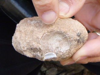 |
| Rock with seashells found at North Rim Grand Canyon, elevation 8000 feet above current sea level |
The big question is "how did all these
rock
cliffs get
exposed?"
About ten million years ago the entire Colorado Plateau, our
big
multilayer cake, was uplifted and tilted thousands
of
feet by tectonic
forces. (Mount Everest has been lifted to almost 30,000
feet, so
lifting something 10,000 feet isn't that big a deal!)
The north
end of the plateau,
which is in Utah, remained about 10,000 feet and the south
end, in
Arizona, is about 6,000 feet.
Next, the weather played its part: water water
everywhere,
freezing, thawing, moving, puddling. Rivers created
canyons and
washed away sand and rocks to reveal spectacular vistas.
Where
the rock was harder, cliffs formed. Where the rock was
softer,
slopes formed. Wind and water act like fine chisels,
refining the
landscape to create columns and arches and bridges, putting
the
beautiful finishing marks on nature's sculpture.
The result, just a feast for our eyes!
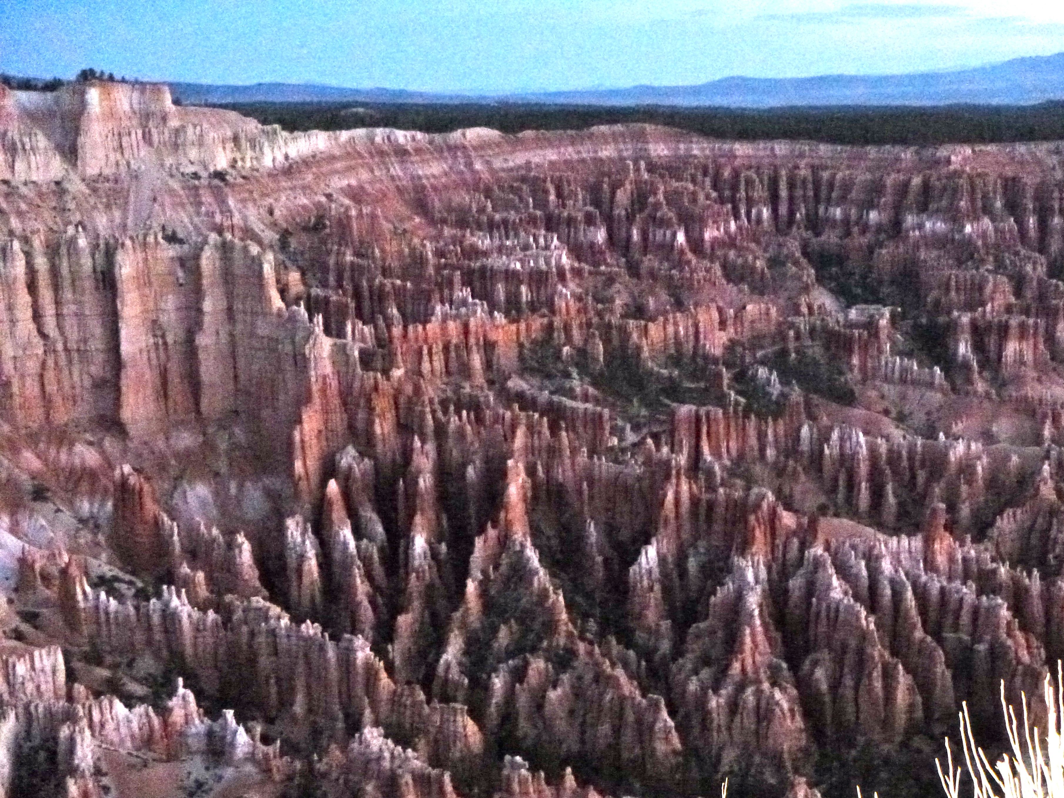
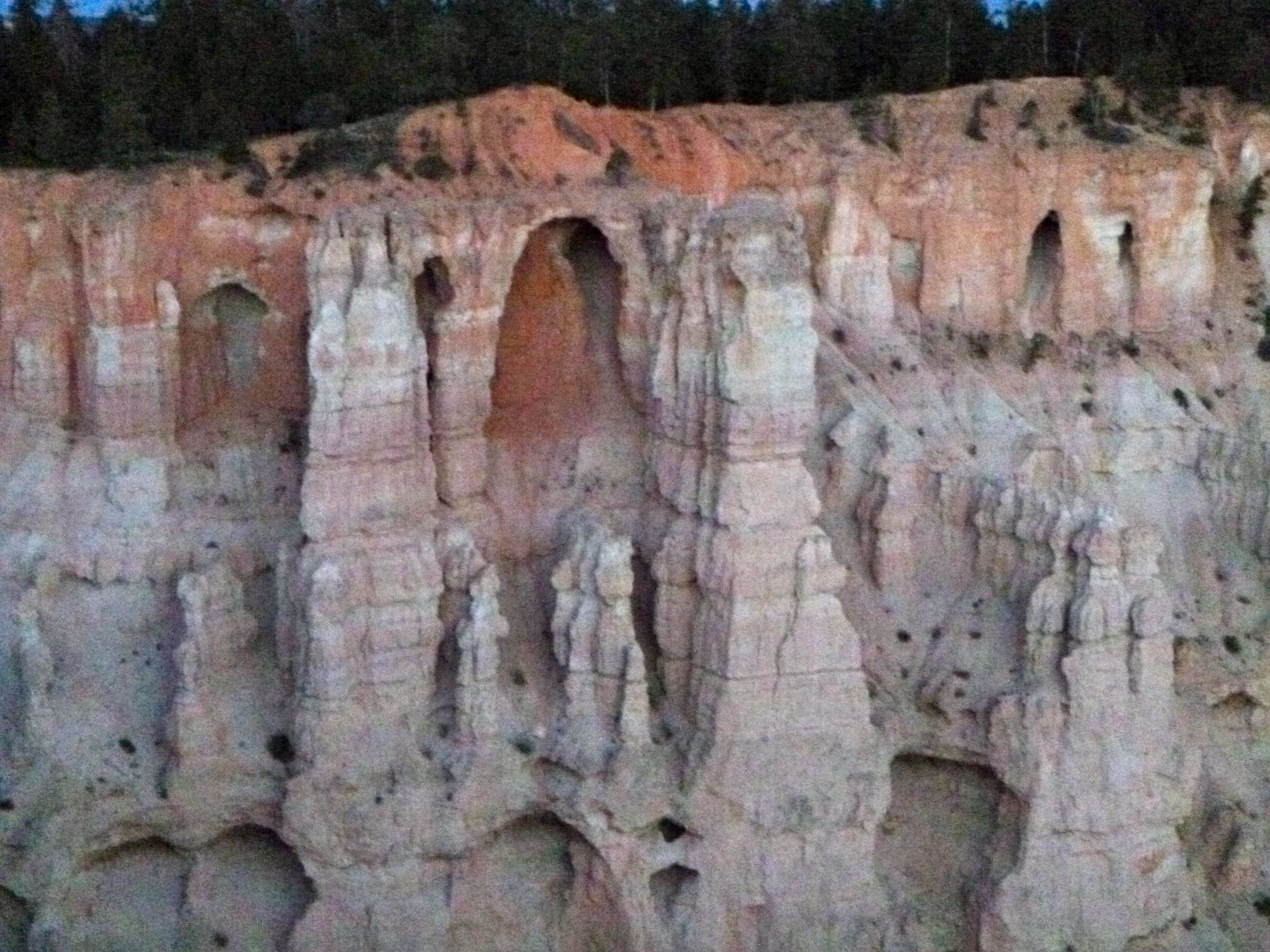
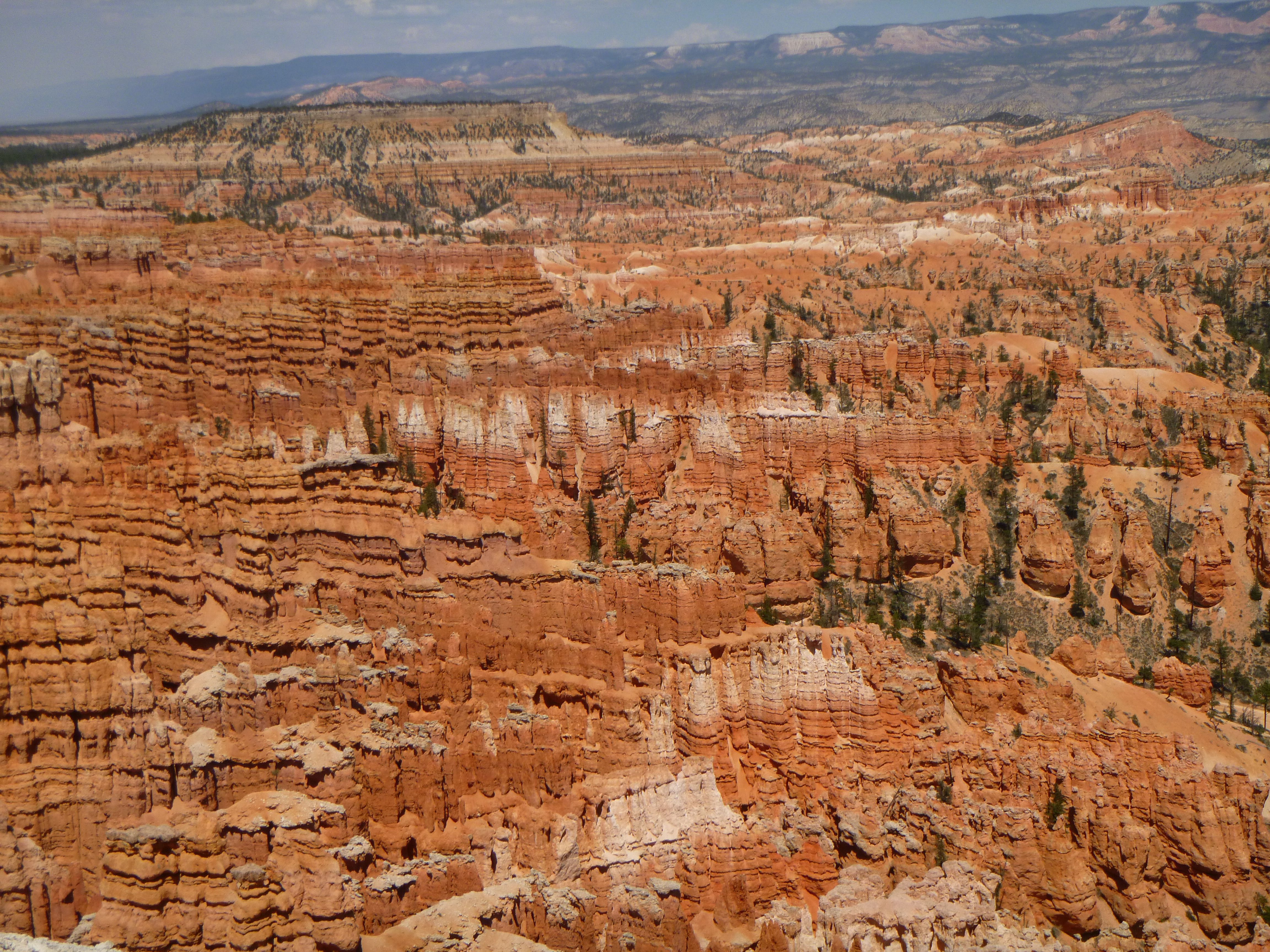
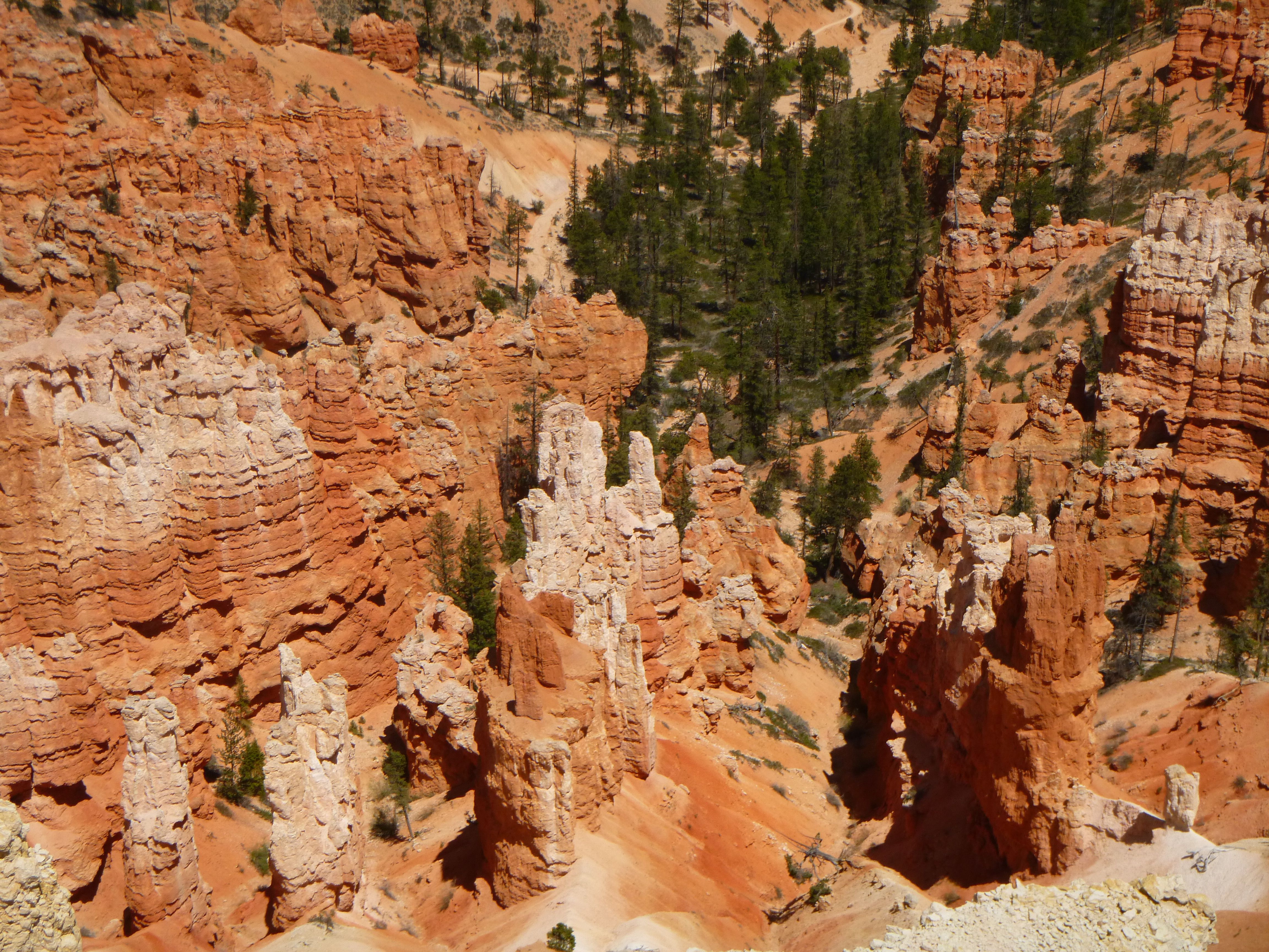
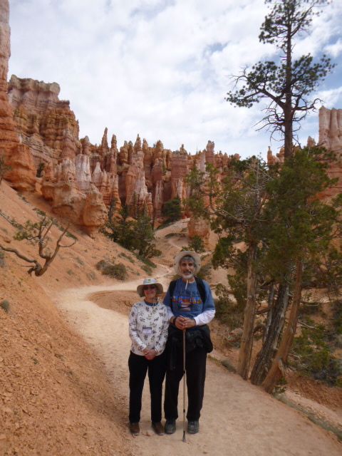
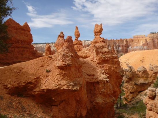
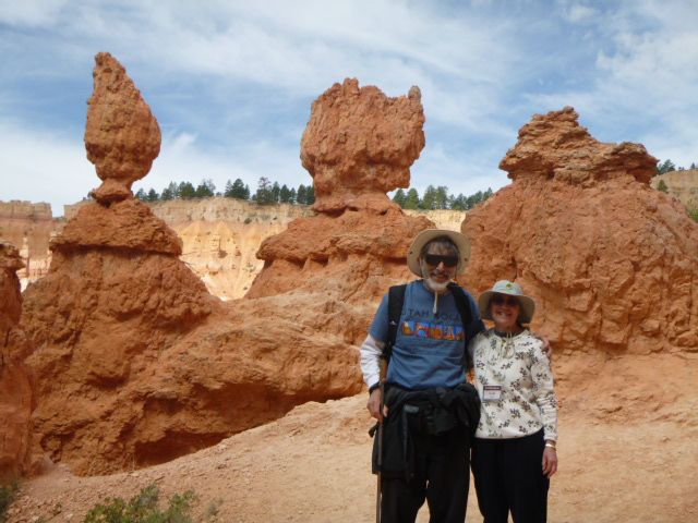
Bryce's Rock Sculptures
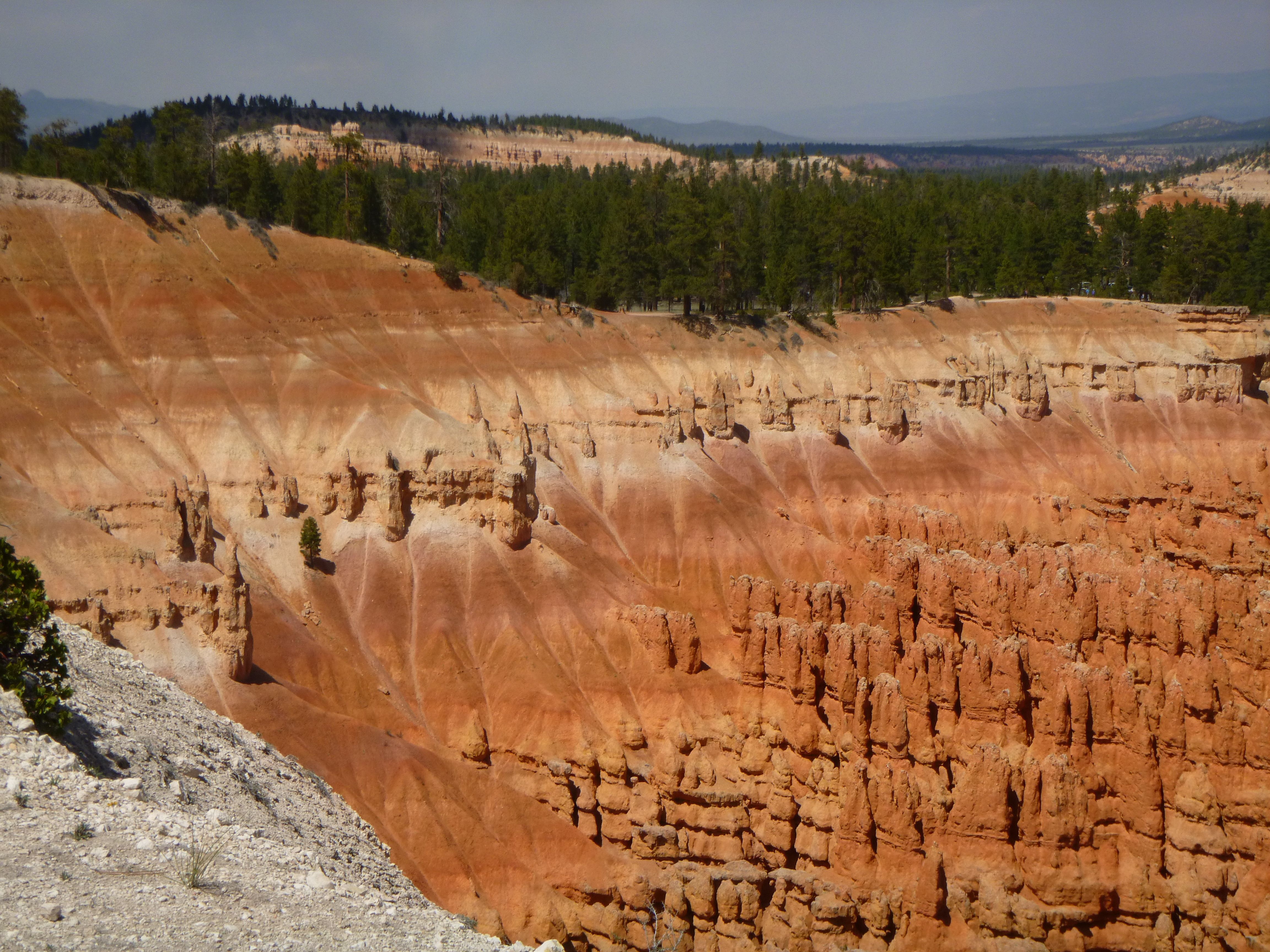 |
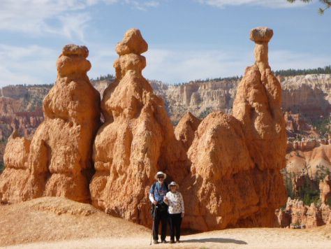
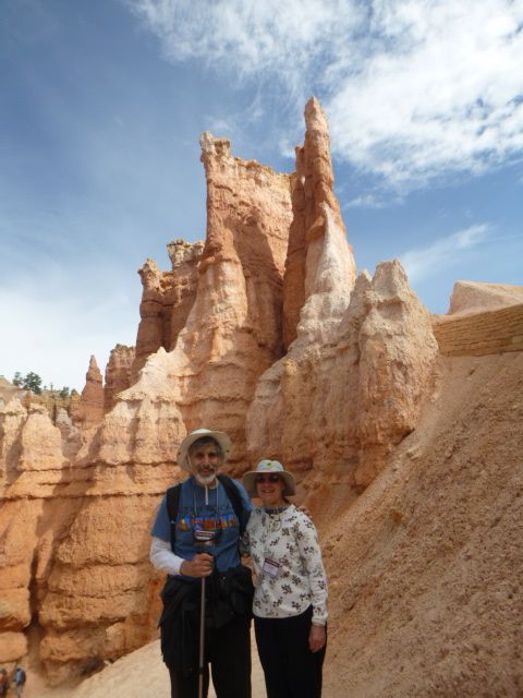
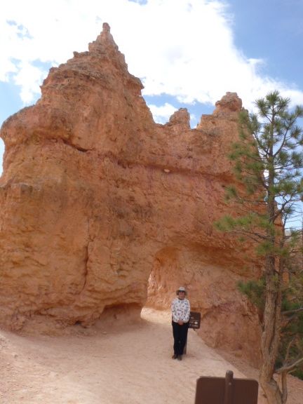
Bryce Canyon National Park is an amphitheater, extending about 12 miles along the northern end of the Colorado Plateau. There is no river which runs through Bryce so technically it is not a canyon. The spectacular odd-shaped pillars of rock are called hoodoos. The hoodoos are primarily created by a process called frost wedging. Frost wedging is where rain water gets into cracks, freezes and expands chipping off pieces of rock. In other words, the rocks are sculptured by the ice into the beautiful and enchanting fairyland columns around which we can walk. The process has been repeated countless times over millions of years, resulting in what we see today. Of course the process is still happening, so when we return in a hundred years or so, the hoodoos will have pushed back into the upper wall of the amphitheater another foot or two and new ones will have been created!!! |
Hoodoos at sunrise
|
|
|
|
|
|
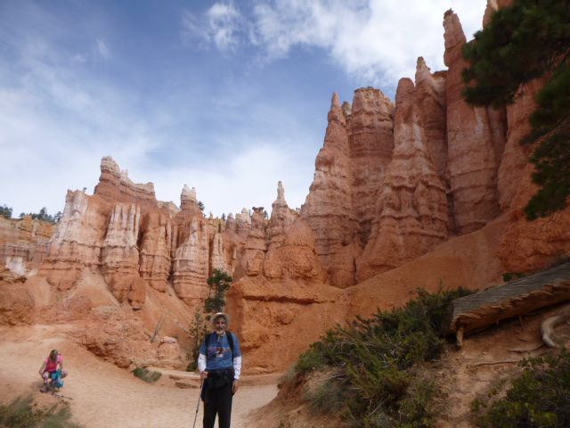
Queen's Garden Trail from the rim
|
|
|
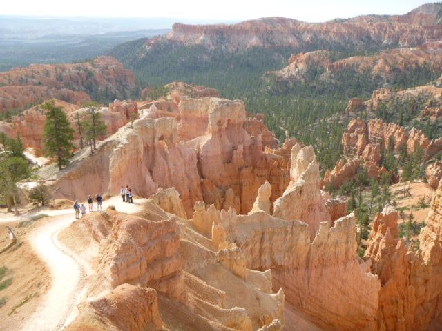
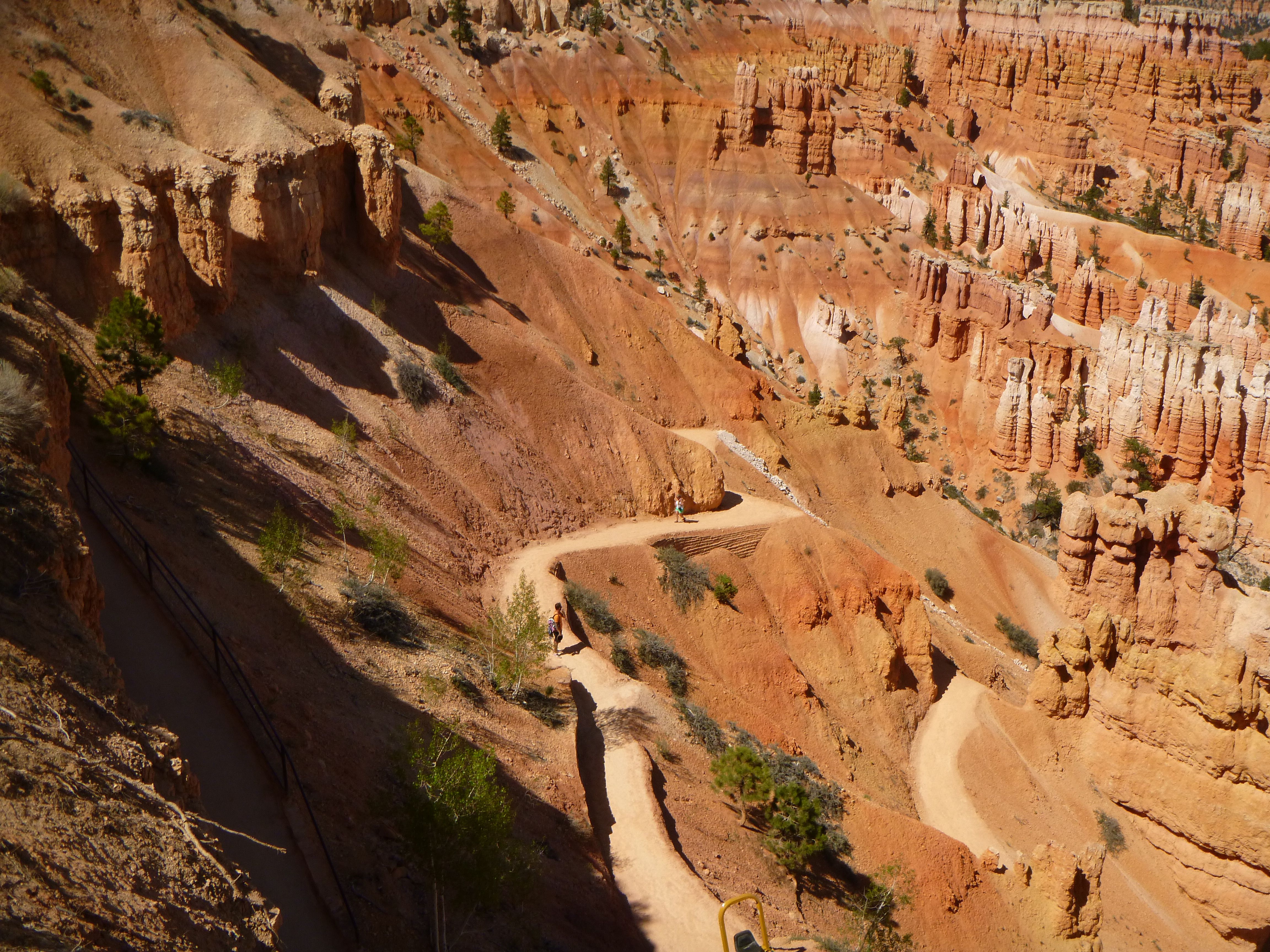
Queen's Garden Trail Hike
|
|
|
|
|
 |
|
|
|
|
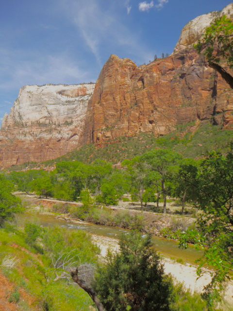
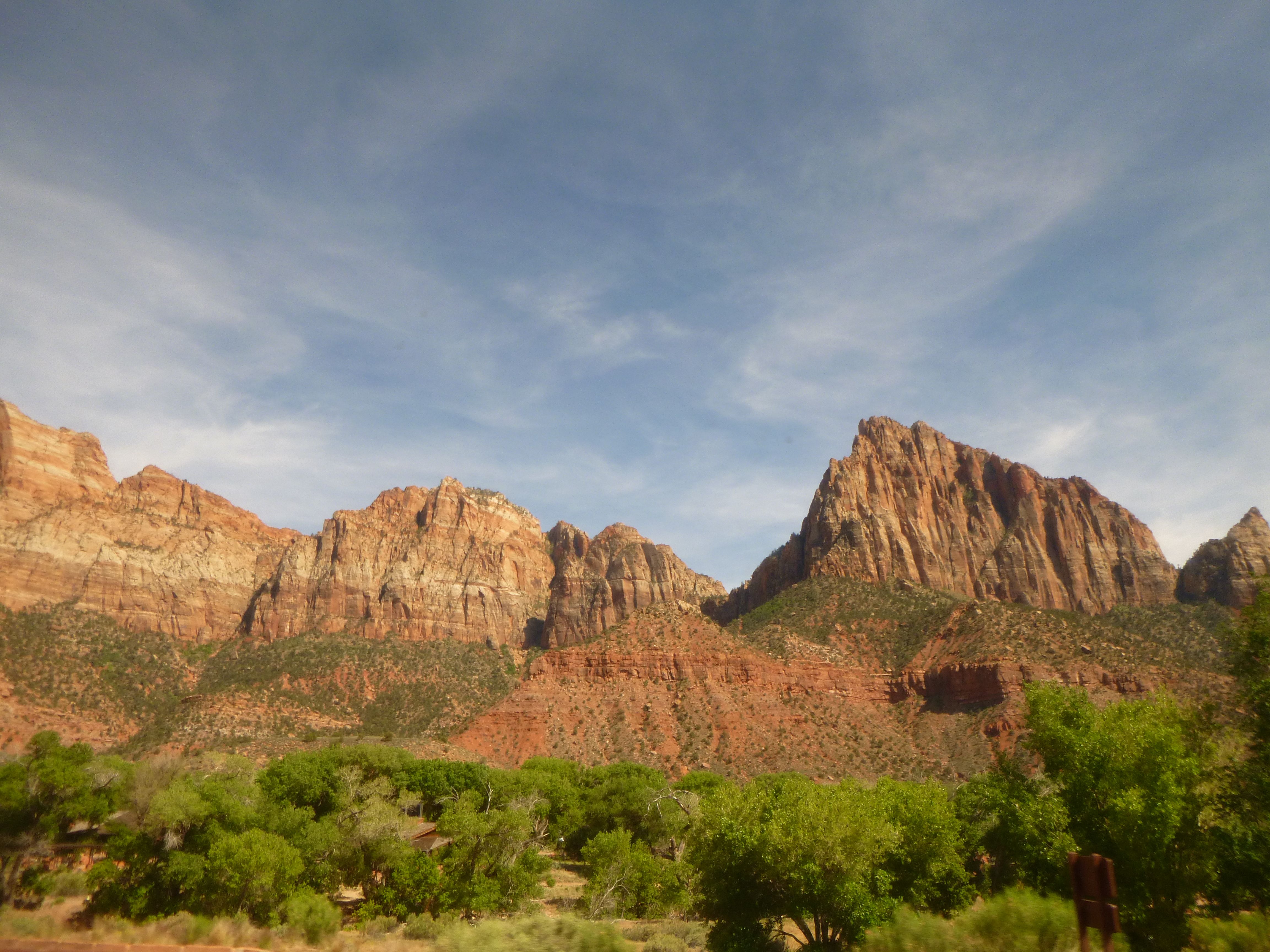
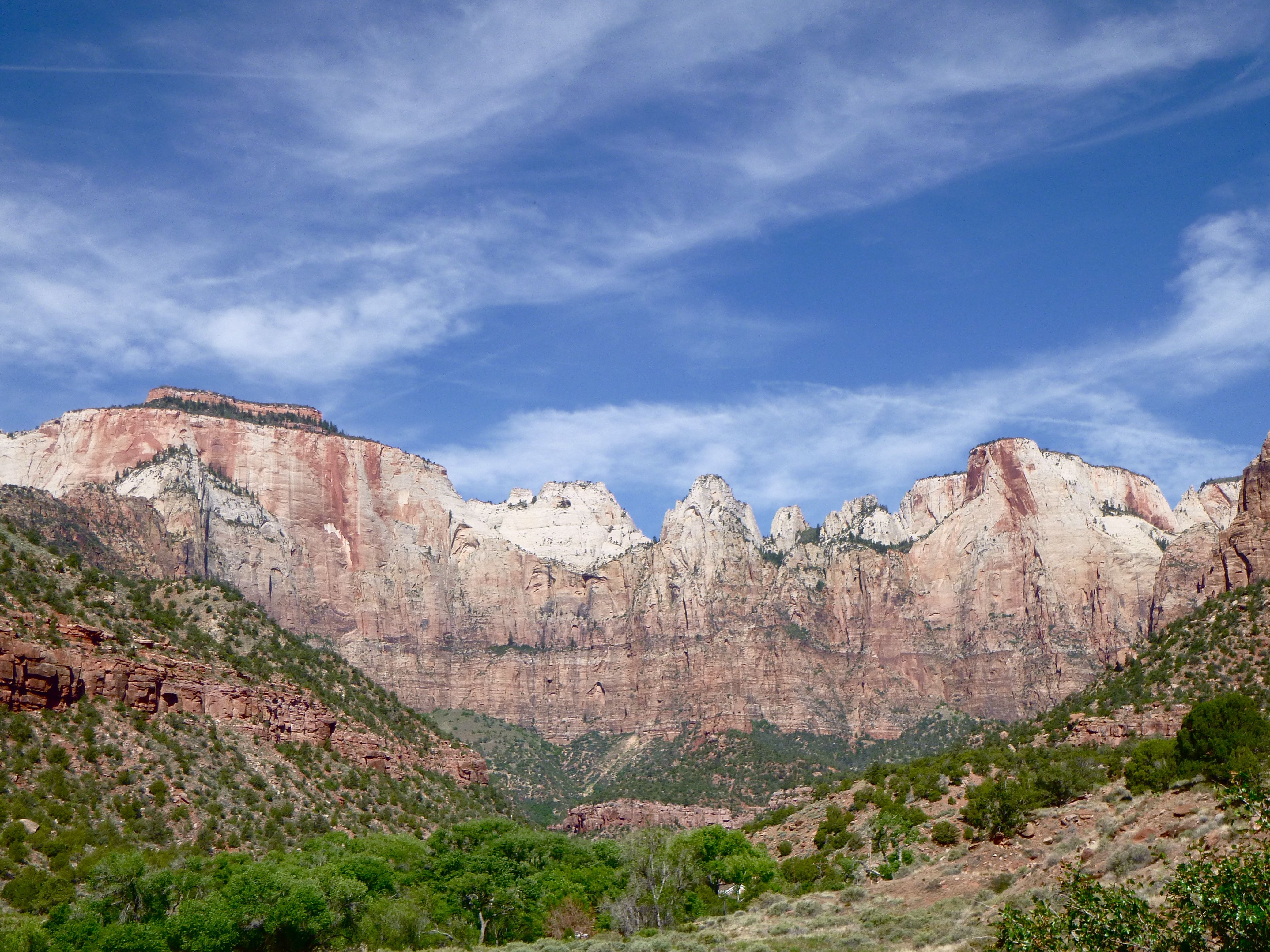
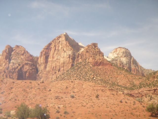
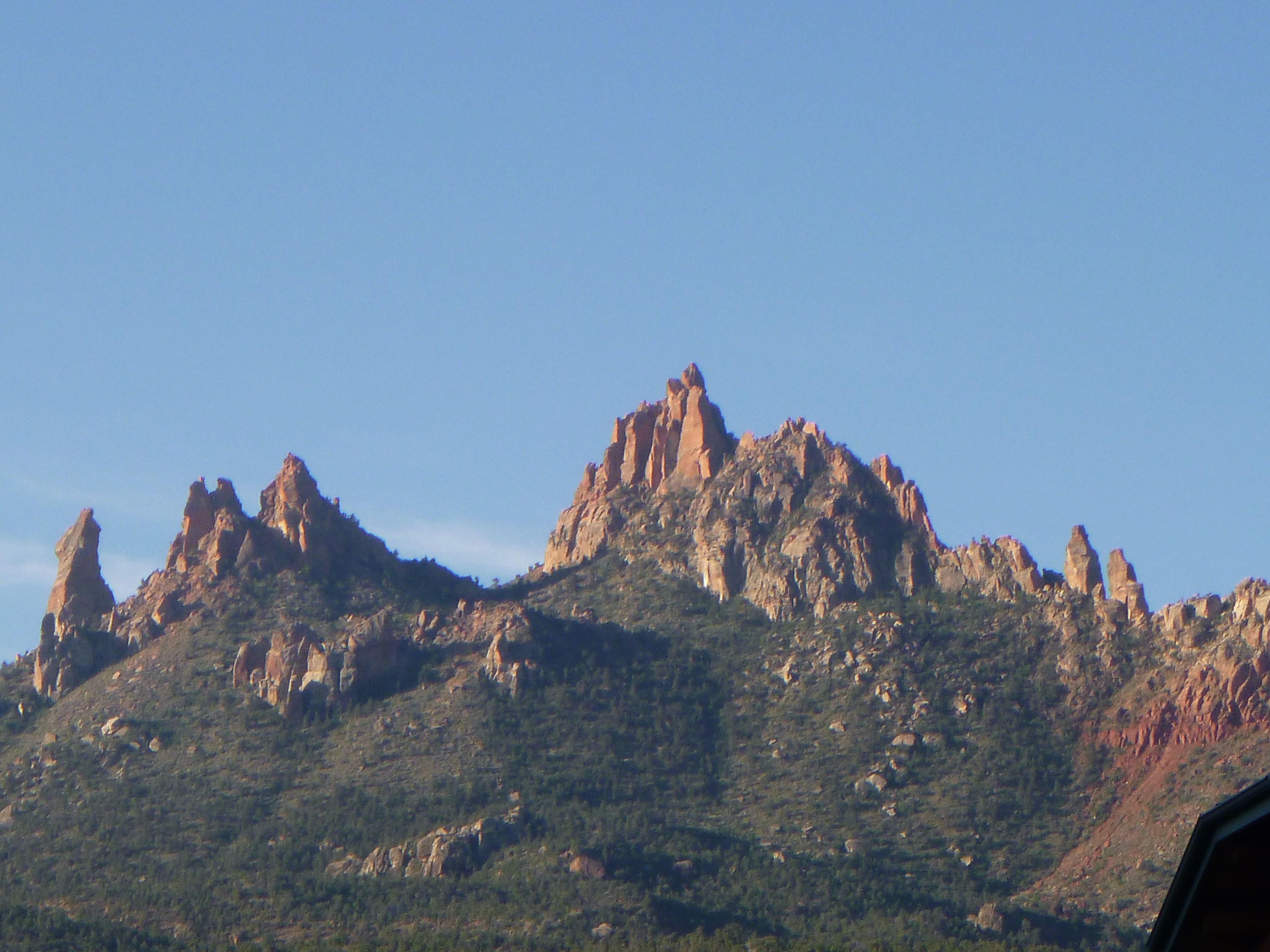
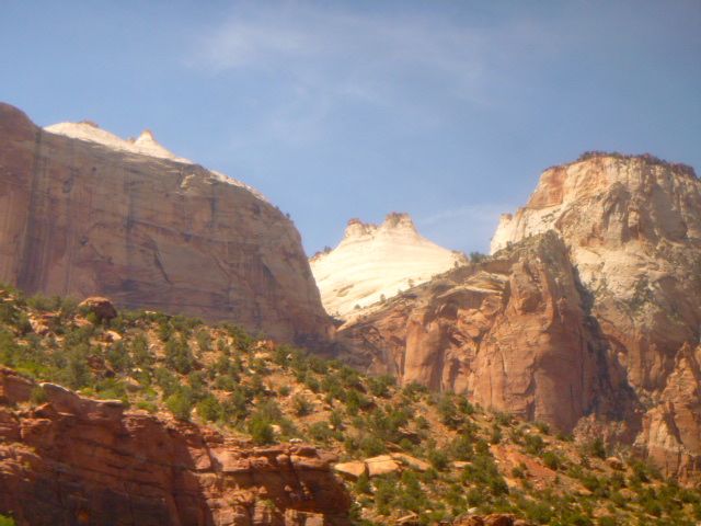
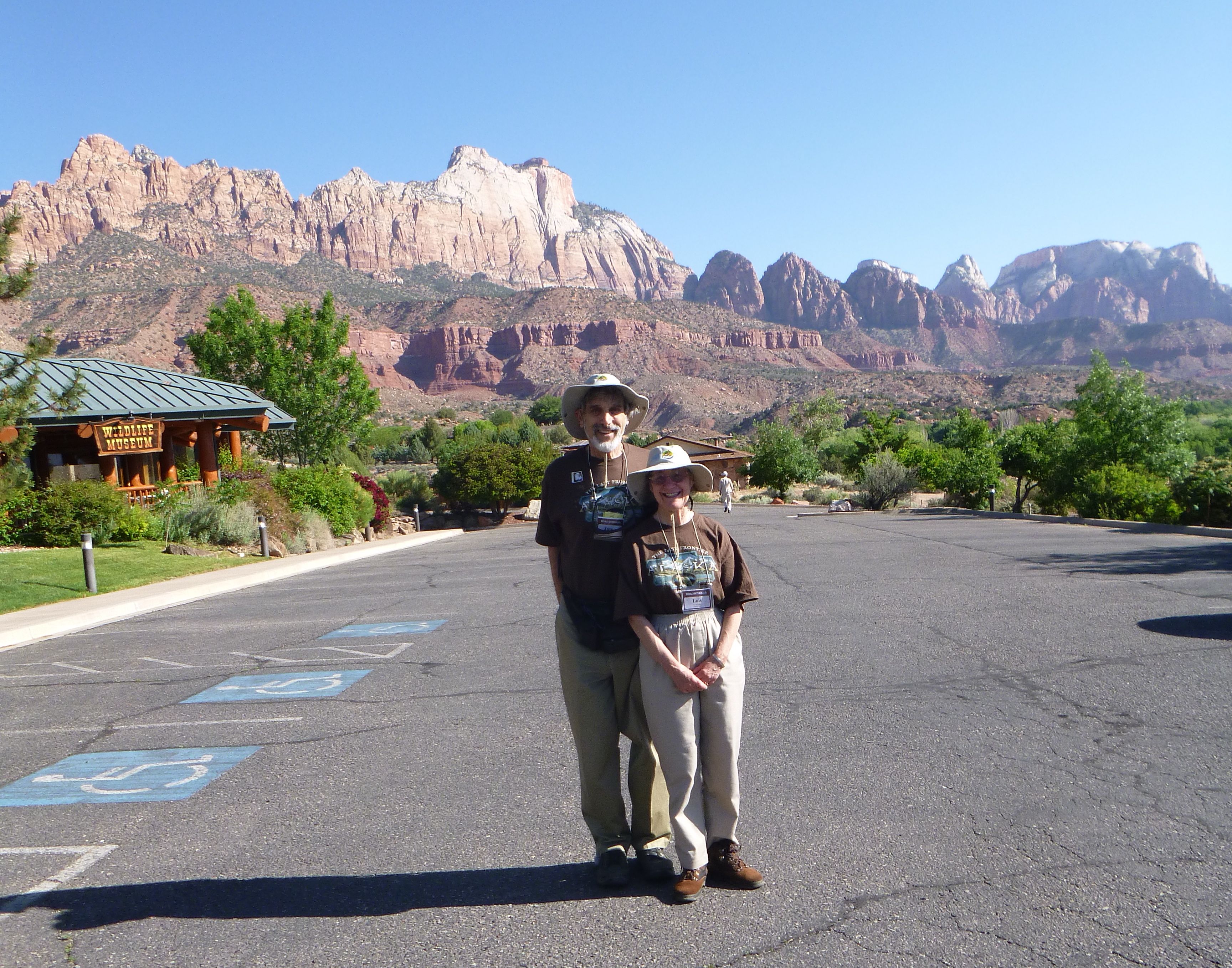
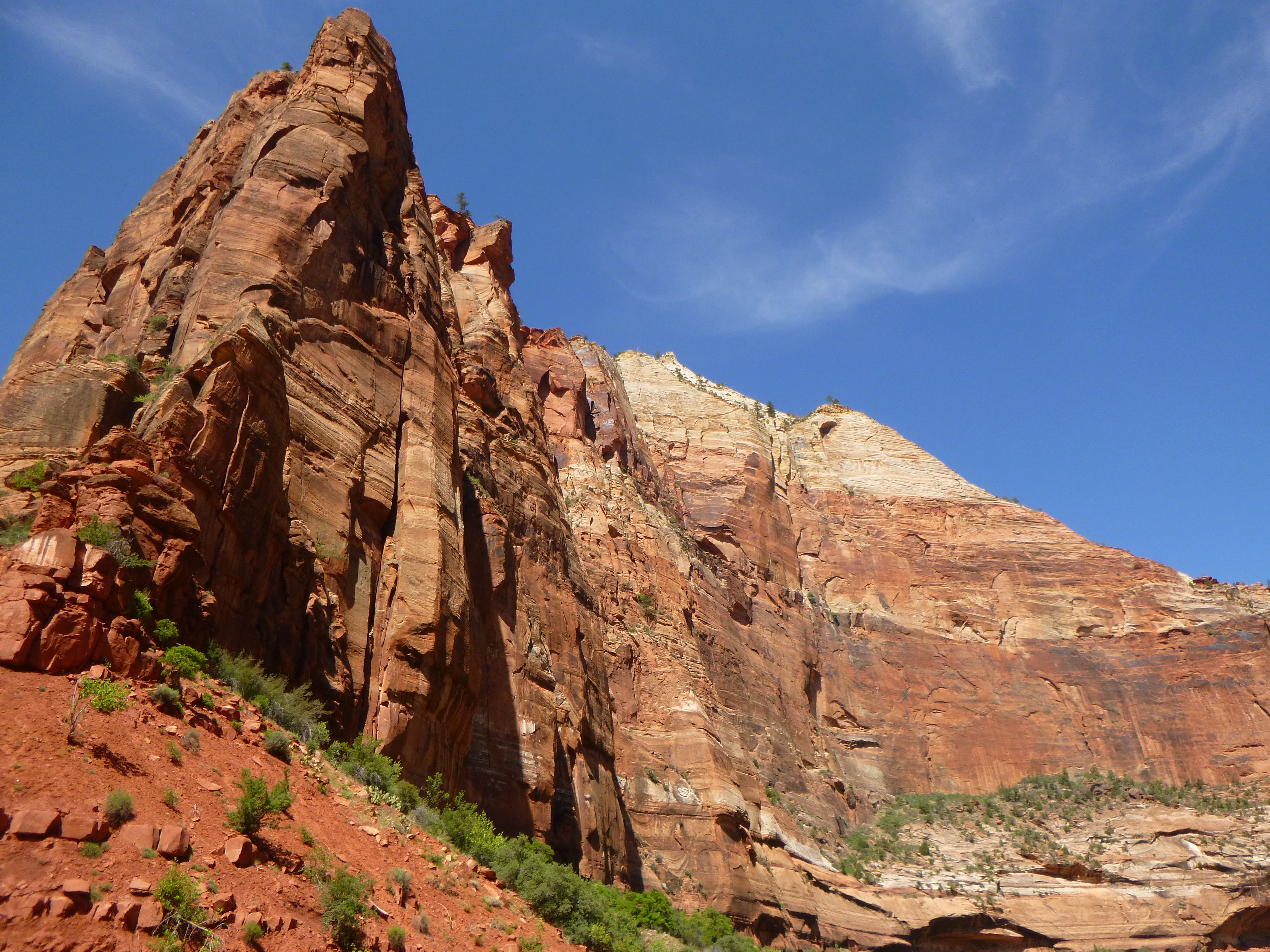
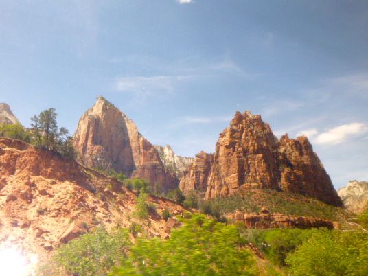
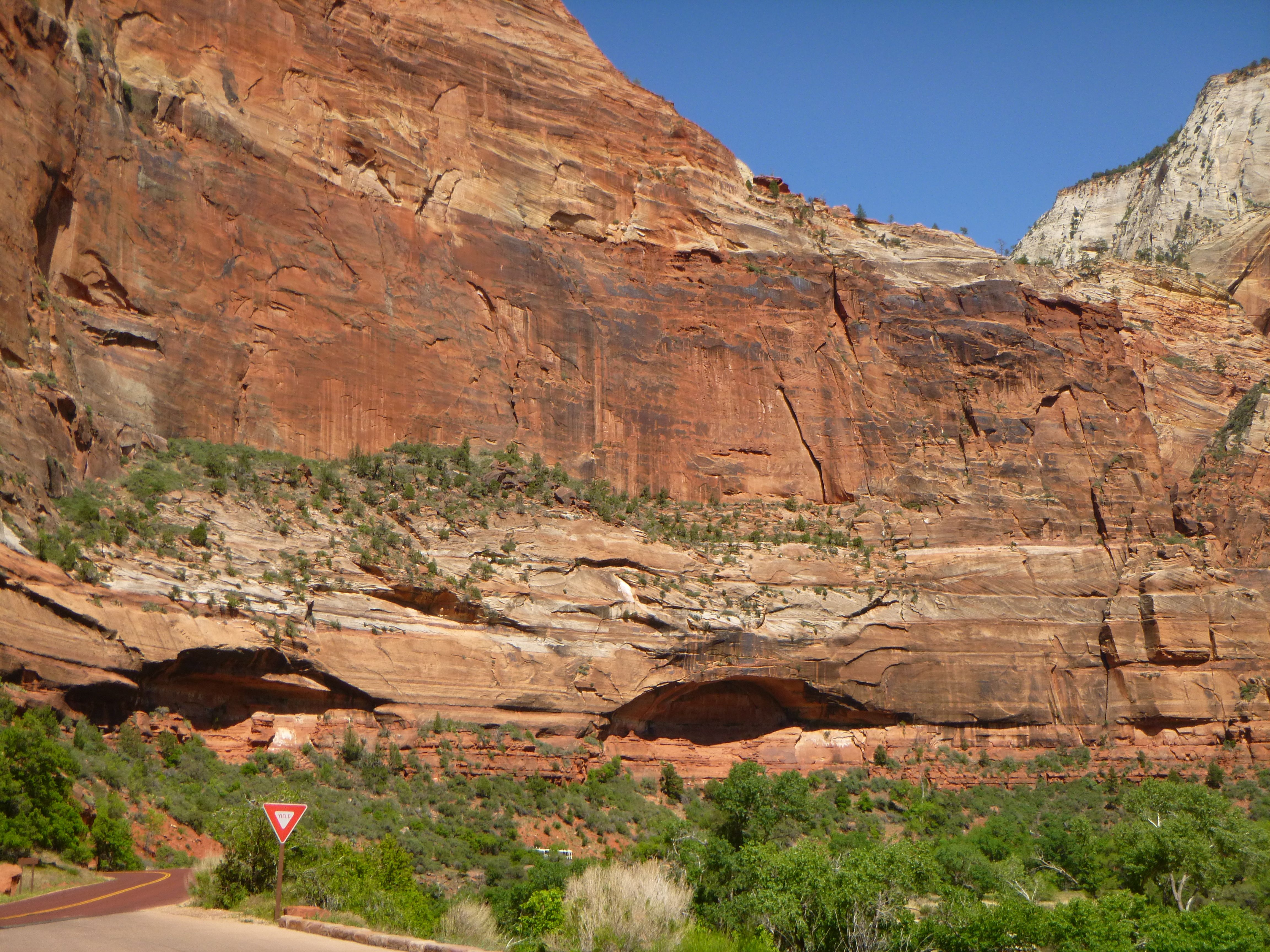
Zion's Parallel Cracks
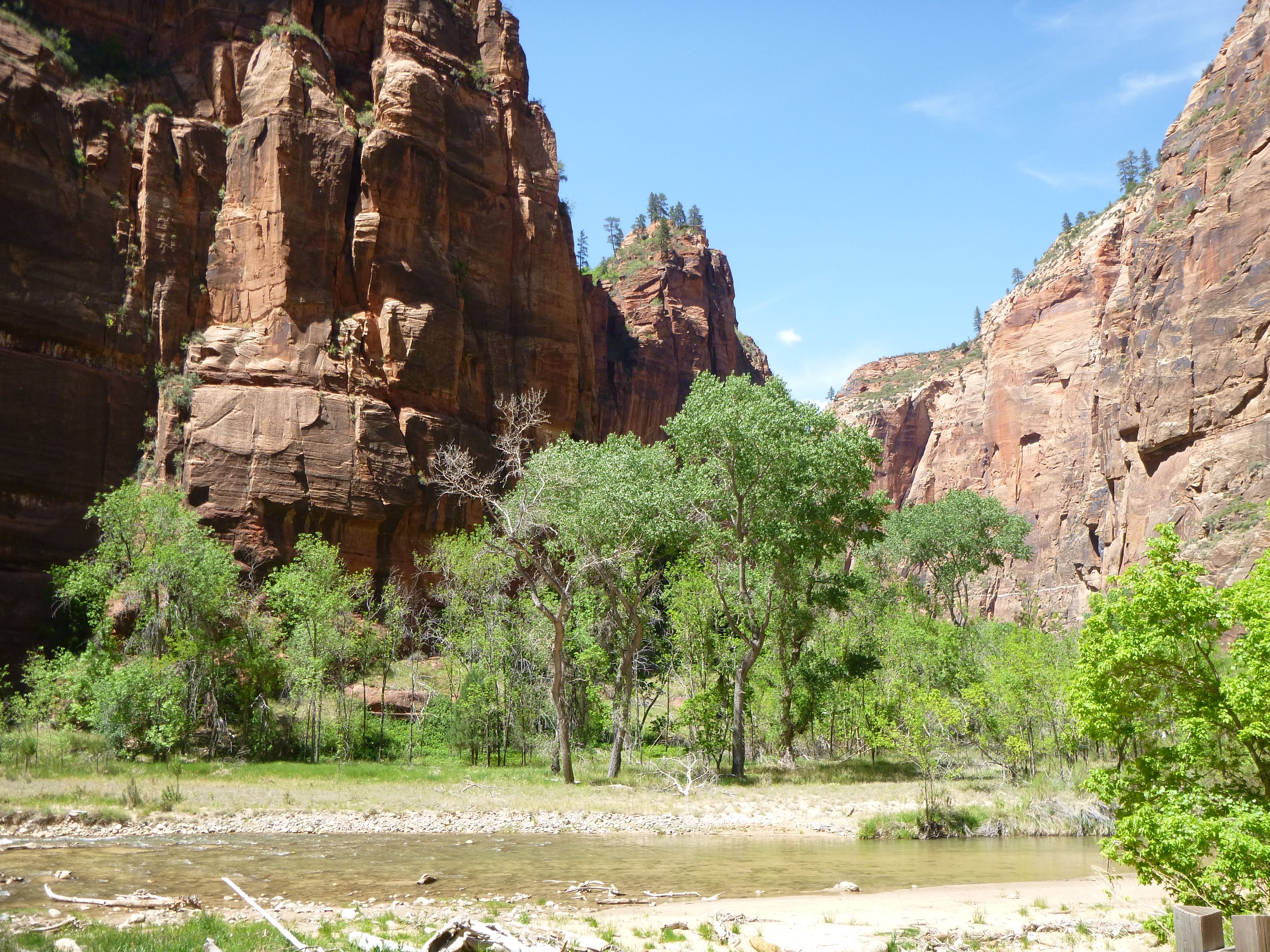 |
Zion
National
Park was carved by the very innocent looking Virgin
River, which is neither wide nor
deep, as seen in the pictures.
When the Zion region was
up-lifted a series of parallel cracks a few
miles apart and many miles long occurred in the
rock. Over the
next few million years
the Virgin River deepened and widened the cracks,
creating the
incredible cliffs and vistas we see today.
|
|
|
|
|
|
|
|
|
|
|
|
|
|
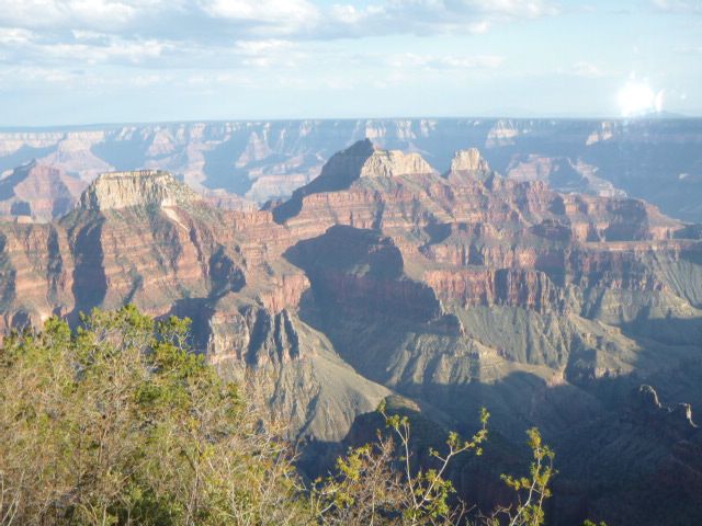
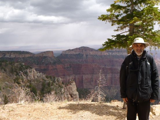
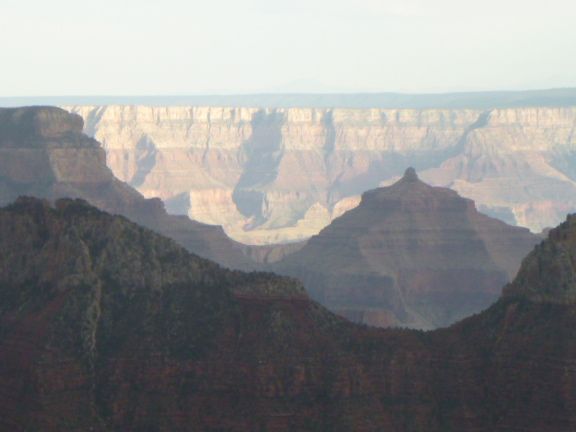
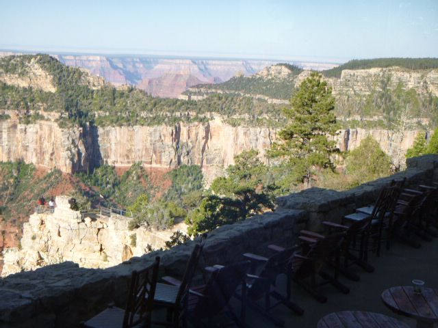
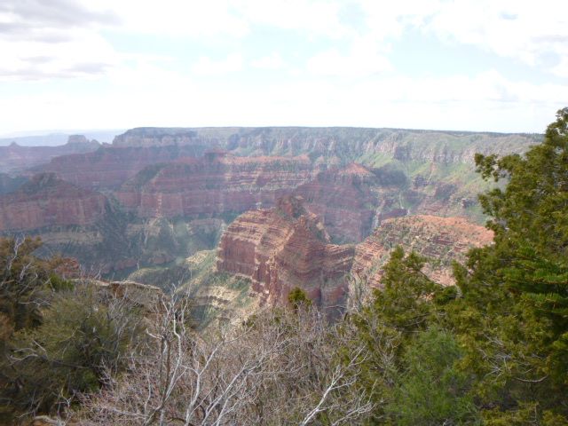
Grand Canyon's "Exotic" River
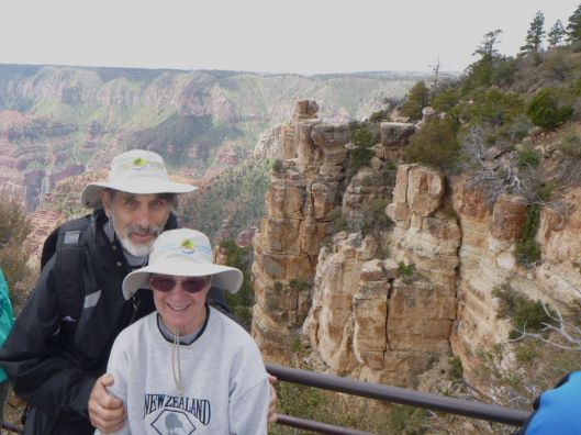 |
Geologist define an exotic river as one that runs through a desert with the water source not in the desert but somewhere else. The Colorado River is an exotic river: Its origin is high in the Rocky Mountains and it runs through the desert of the southwest, creating one of the world's greatest canyons in the process! When the uplift and tilting occurred, the Grand Canyon was at the bottom of the sheet cake of rock layers, so the Colorado River ran fast and furious, carrying away several thousand feet of dirt, sand and rock exposing what we see today. The fact that the area is a desert means that massive plant growth, like a forest, has not hidden the awesome canyon from our view. On the other hand, Hells Canyon on the border of Washington and Oregon is deeper than the Grand Canyon, but the wet climate of the northwest enables dense forests of vegetation to "hide" the beauty of the canyon from our view. Our trip took us to the North Rim of Grand Canyon National Park, which is about 1000 feet higher than the South Rim, and thus wetter and "greener." |
|
|
|
|
|
|
|
|
Lois and Jason Travel Logs
Frand Family Homepage
Writer: Jason Frand
Editor: Lois Frand
You can reach us via email at Jason or Lois
June 24, 2013